Adirondack High Peaks Transit
16" x 20", Offset Printed, 80# Endurance Gloss Cover
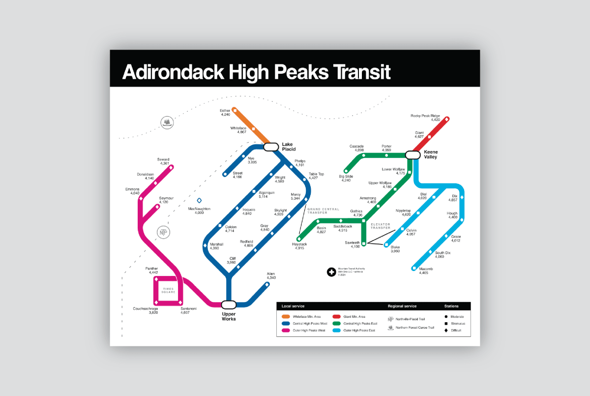
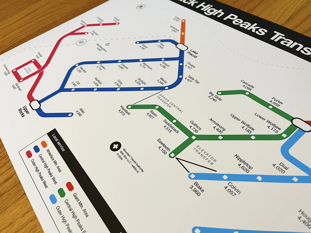
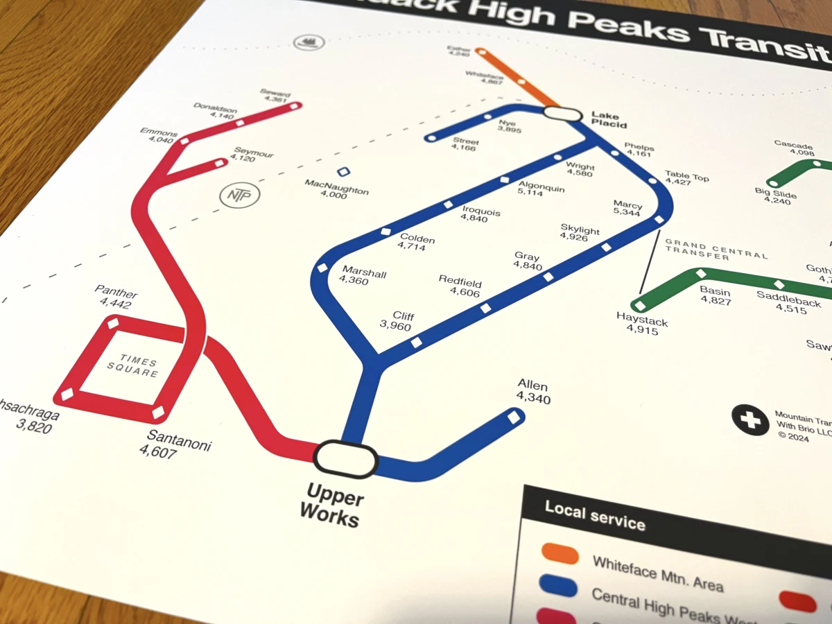
This 16” x 20” print reimagines the Adirondack High Peaks as subway lines within a vibrant, fare-free network, inspired by the New York City subway map.

Each “station” is represented by a shape corresponding to a peak’s difficulty—moderate, strenuous, or difficult—offering a playful and whimsical way to track your progress across the Adirondacks’ iconic summits.

Regional lines, such as the Northville-Placid Trail and Northern Forest Canoe Trail, are also included, adding extra context.
Recognizable subway features, like Grand Central Transfer and Times Square, are incorporated to make this map a familiar yet imaginative exploration of the Adirondacks.

Whether you’re planning your next climb or reminiscing about your Adirondack adventures, this print is a creative, fun way to navigate the peaks of upstate New York.
A portion of this product's profits go directly to trail organizations we support.
We have a fantastic network retailers throughout the Northeast and beyond, and we'd love to connect you with them. If you're a retailer and you'd like to carry one of our products, please don't hesitate to reach out.