Undercast Approaches to the White Isles of New Hampshire
18" x 12", Foil Stamped
On those magical undercast days, when clouds settle in valleys and summits peek out above, you might find the landscape more nautical than orographic. This print runs with that concept, visualizing what New Hampshire would look like if "sea level" (cloud level) were at precisely 4000'.
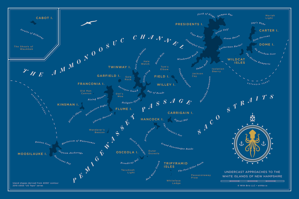
Lofty landforms become islands, rocks, and skerries, while other familiar landmarks transform into coves, harbors, and bays.
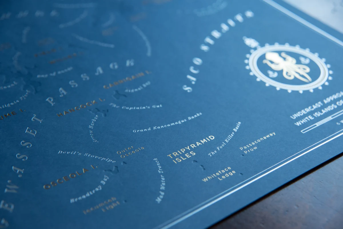
Those new to hiking in the Whites will find their sea legs in places like "Tuckerman Harbor" and the "Grand Kancamagus Banks". Seasoned trampers will delight in far-flung places such as "Port Above Nubble" and "Barebooters Bight".
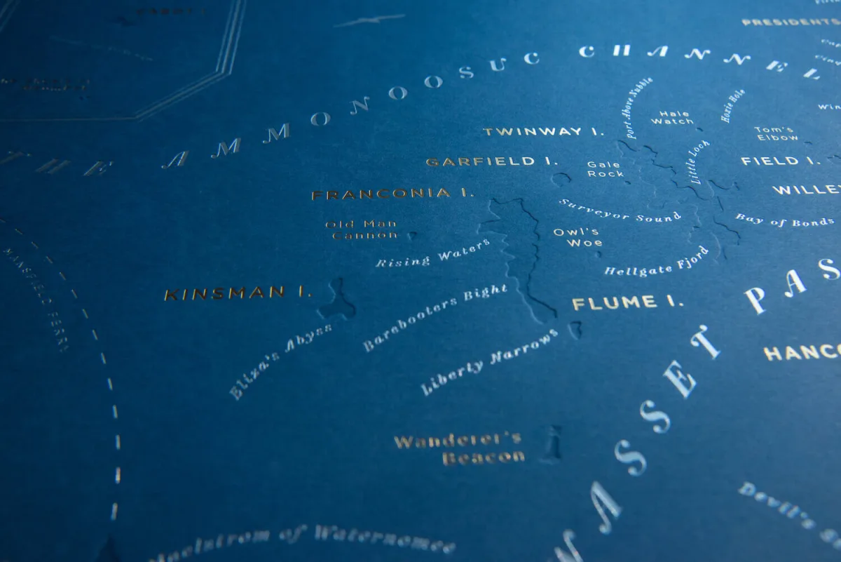
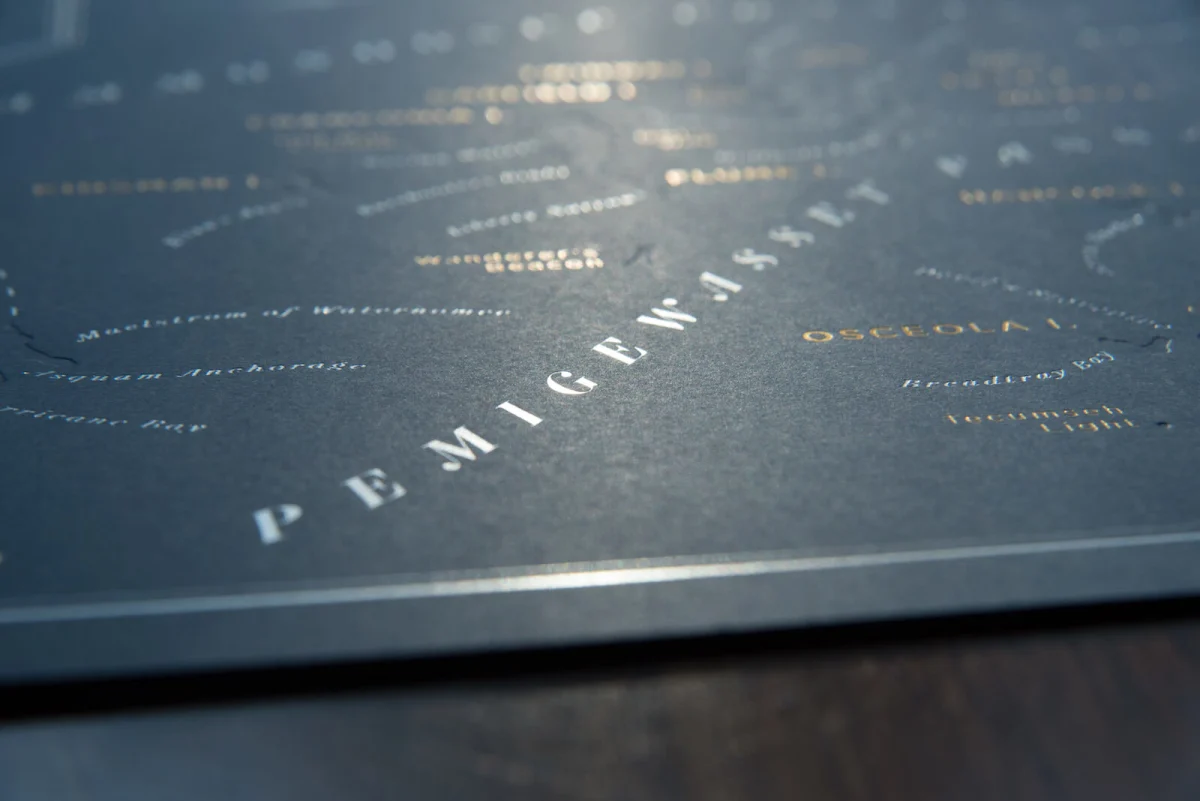
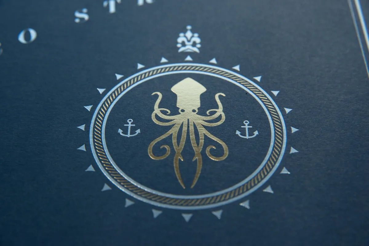
The map's novelty doesn't stop at the conceptual level, though. Incorporating production methods normally reserved for wedding invitations, the print is letterpressed and foil stamped using tonal ink in conjunction with gold and silver matte foil on 100# Neenah Classic Crest "chambray blue" paper.
A portion of this product's profits go directly to trail organizations we support.
We have a fantastic network retailers throughout the Northeast and beyond, and we'd love to connect you with them. If you're a retailer and you'd like to carry one of our products, please don't hesitate to reach out.